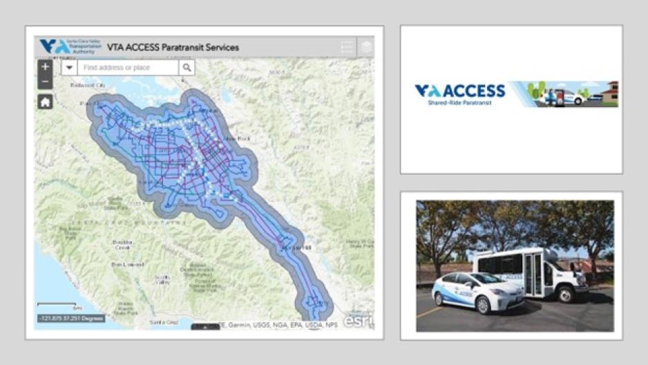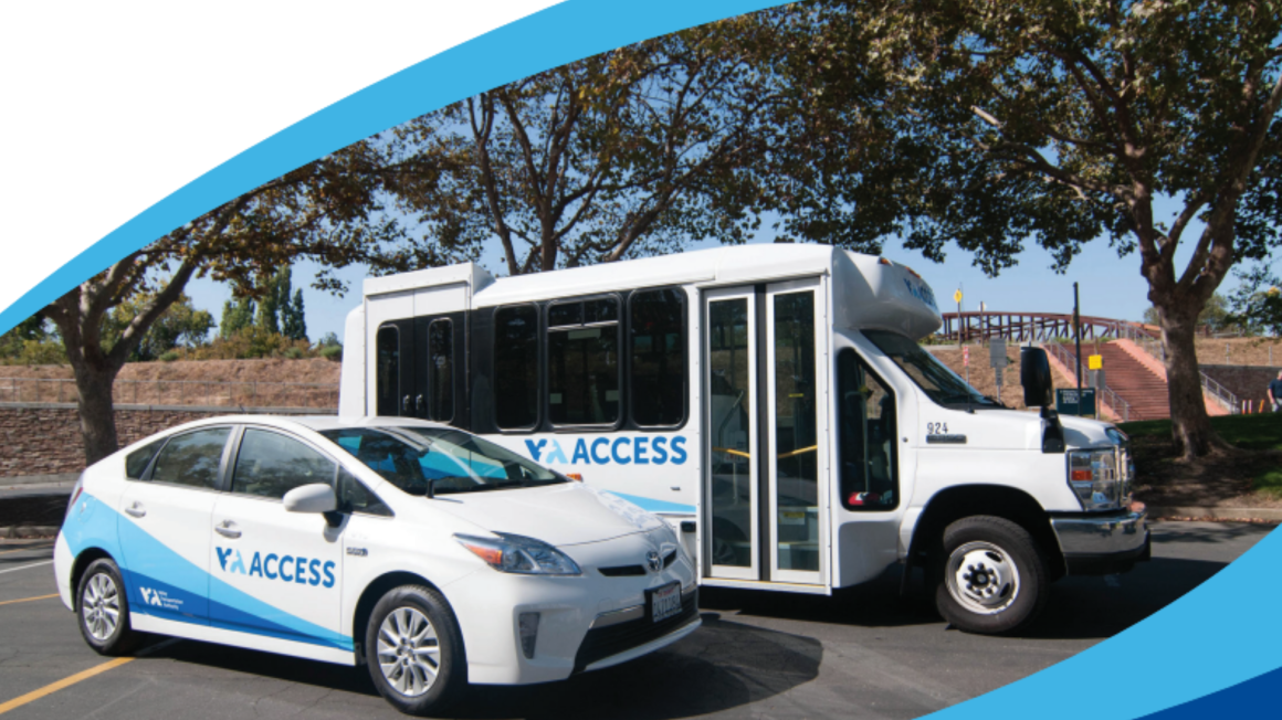
The VTA ACCESS Paratransit service caters to eligible individuals with disabilities who cannot use conventional accessible bus and light rail services due to their physical, visual, or cognitive impairments. Paratransit is a shared-ride public transportation service, complementary to fixed-route transit services. Paratransit operates within the same service area and service times as VTA bus and light rail services. There are two types of service areas of paratransit: standard (¾ miles around bus and light rail routes) and premium (an additional 1 mile from the standard areas). The one-way fares for standard and premium trips are $4 and $16, respectively.
Determining whether a specific trip falls within the VTA ACCESS Paratransit service area can often be confusing for riders, and it can also be challenging for Customer Service staff to quickly verify eligibility. To better support this essential service, the GIS team developed an interactive mapping tool that visualizes and manages the spatial aspects of paratransit coverage and eligibility. The tool is available publicly at https://www.vta.org/programs/access and displays up-to-date routes and service boundaries. The tool is designed with accessibility features. Users can simply enter an address into the search bar to determine whether it falls within the paratransit service area for weekdays, Saturdays, or Sundays. The tool is updated quarterly to align with VTA’s fixed-route service changes, ensuring information remains accurate and current.
This tool provides significant practical value by enabling users—both customers and staff—to independently verify whether a specific address falls within the service area and to determine the applicable fare type. It has become a key resource for customer service and dispatch teams, allowing them to walk customers through the same steps used internally to confirm trip details. This fosters greater transparency and understanding when resolving service-related questions.