San Francisco, CA, USA - Octavia Boulevard, a Multiway Boulevard
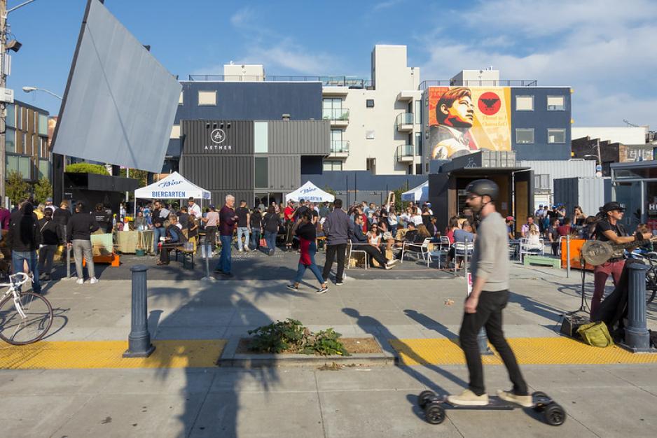
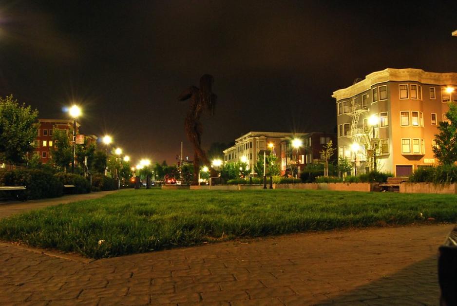
In 2005, the City of San Francisco opened Octavia Boulevard, replacing a portion of elevated freeway. The multiway boulevard is designed to permit high volumes of through traffic while providing slower-moving local bicycle, pedestrian, and vehicle access to the neighborhood. Octavia Boulevard has central travel lanes to capture the freeway traffic, bordered by tree-lined medians with walking paths and slow-speed, one-way access roads with sidewalks and on-street parking. The four-block boulevard is capped by a park, Hayes Green, where the center lanes turn onto a one-way arterial and the access roads continue to provide local bicycle, pedestrian, and vehicle access. The designers strived to keep the roadway as narrow as possible to preserve space on one side to replace housing that had been removed when the elevated freeway was built. The project was designed by a team consisting of a transportation planner from Department of Parking and Traffic, two engineers from the Department of Public Works, three project managers from the Central Freeway Project office. Designs were brought through a Citizens Advisory Committee. The final project serves not just to move people, but also as a place to gather, and a way to heal the neighborhood that had been disrupted by the elevated freeway for three decades.
Barcelona, Spain - Superblocks
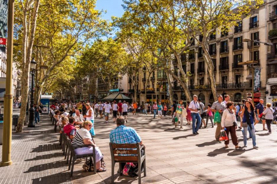
In 2016, the Poblenou neighborhood in Barcelona, Spain created a people-centered, pedestrian-friendly, nine-block “superblock” within an otherwise auto-oriented street network. Within the superblock, local streets are designed as shared streets, with very low speeds (10 km/hr or approximately 6 mph), and are only open to local traffic. With reduced vehicle traffic, city reclaimed 90% of the road space for landscaping, bike lanes, seating, art, and play areas to support public life. Residents say the superblock is quieter, neighbors are meeting each other, and the pace of life is slower. Walking and biking have increased since the superblock was created. Local businesses, initially skeptical of reducing auto access, have found that increased foot traffic has led to increased economic activity. Barcelona is continuing to add superblocks in other neighborhoods.
Oakland, CA, USA - Telegraph Avenue: Complete Streets Transformation
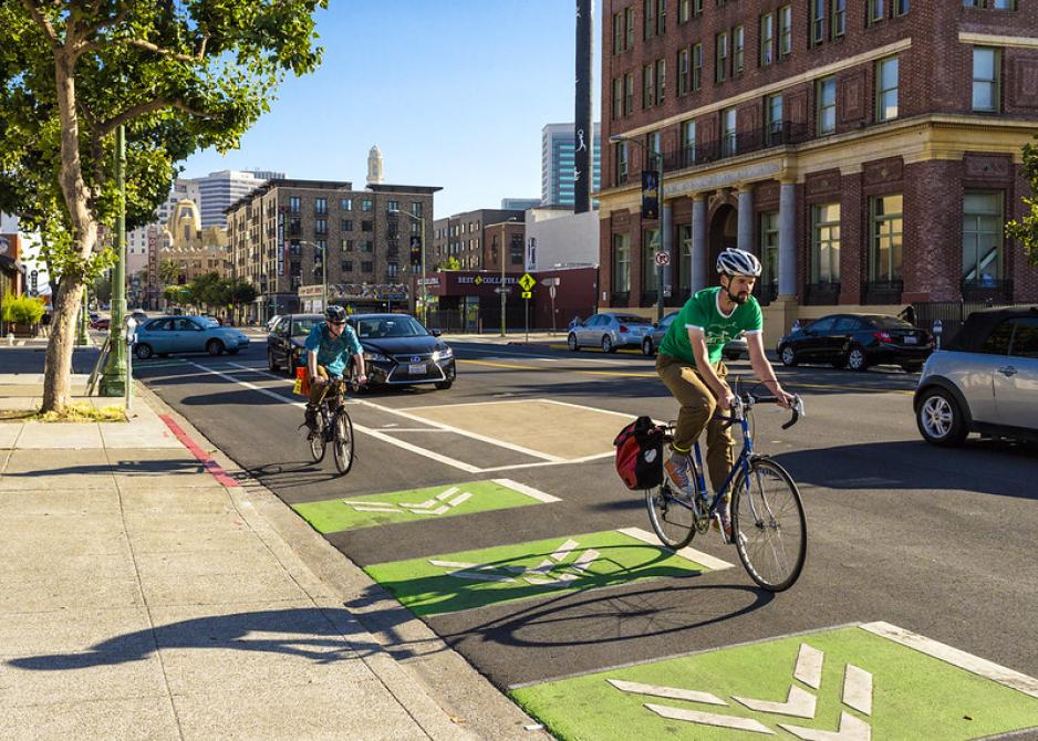
Telegraph Avenue in Oakland is a major transportation and retail corridor connecting North Oakland to downtown. It has high frequency bus service, is a missing link in the local bike network. It is also one of Oaklands High Injury Corridors, with a concentration of severe and fatal traffic crashes. The city, with community input, has modified the roadway to improve safety and enhance public life. Beginning in 2016, the city leveraged repaving projects to reduce travel lanes and install a temporary protected bike lane, pedestrian crossing improvements, and bus boarding islands. The city also reduced the posted speeds from 30 mph to 25 mph After evaluating performance, the city made incremental improvements to the design and has now secured funding to make the final designs permanent. The city continues to evaluate the effectiveness of the treatments for reducing vehicle speeds, increasing pedestrian and bicycle travel, and reducing conflicts between people traveling on and across Telegraph Avenue.


