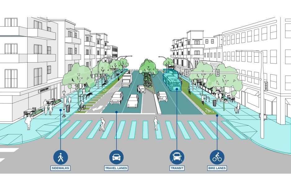
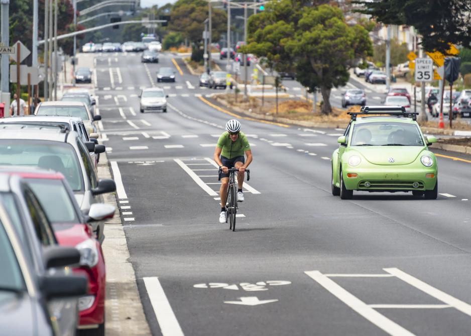
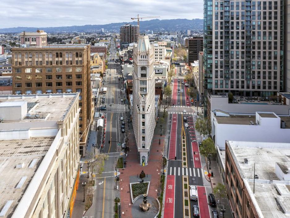
A corridor is a major road connecting many districts across the region, and in some conditions may be viewed as a “linear district.” Corridors represent a tremendous reservoir of underutilized land where infill, reuse, and redevelopment efforts can be focused. Multi-modal corridors, with highly developed pedestrian and bicycle facilities and high levels of transit service present unique opportunities for uniting districts and cores, place-making efforts, and increasing local and regional mobility.
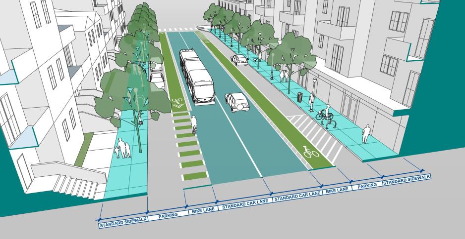
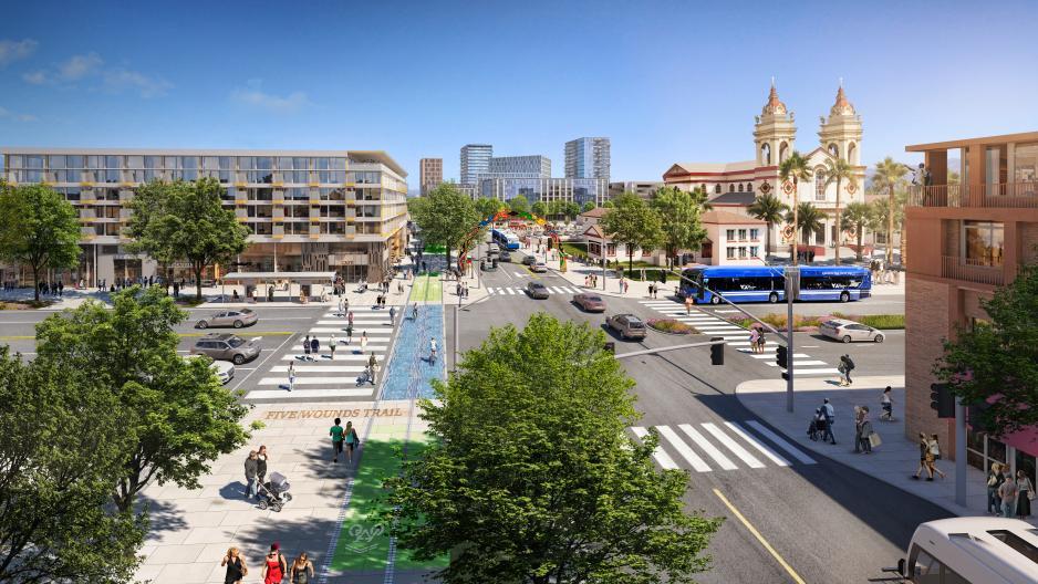
Transform arterials into multimodal boulevards. Design the street to accommodate a variety of modes including automobiles, transit, bikes, and pedestrians. Design narrower streets to prioritize a few modes, not all, since, for example, bicycle-priority streets will often limit transit capacity.
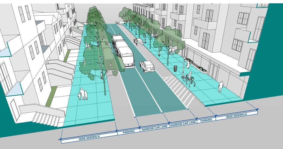
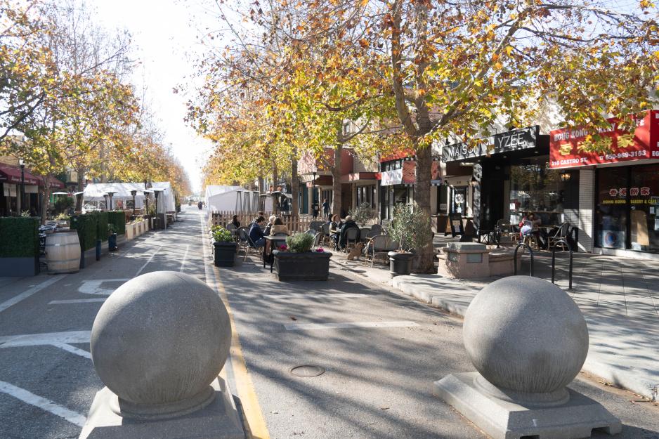
Vary cross-sections along the length of the corridor to support adjoining uses. In response to heavy pedestrian and transit use in busy core areas, traffic lanes may be narrowed, and sidewalks widened. Planting strips, medians, and curb bulb-outs further support pedestrian comfort and traffic calming in busy core areas.
Sidewalks must be accessible and support a comfortable pedestrian environment free of obstructions like poles, fire hydrants, utility boxes, and poorly designed tree wells.
- Provide a linear sidewalk route, minimizing directional changes where possible for optimal accessibility.
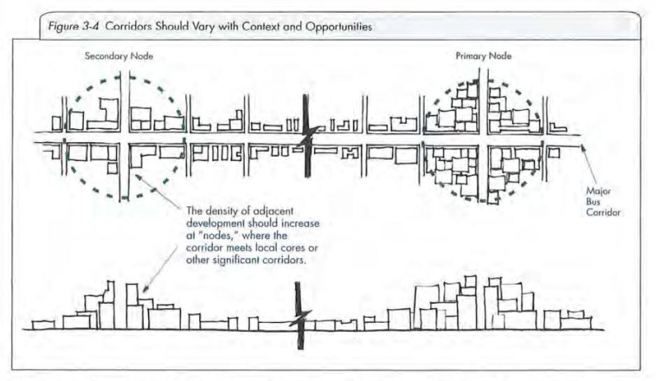
Vary corridor treatment with context. Adjacent municipalities, VTA, and other relevant agencies should be engaged in the planning process to identify appropriate locations for nodes of higher density development, specifically around transit facilities and Priority Development Areas.
- Consider transit-oriented residential development on corridor segments between the commercial nodes and mixed-use developments at nodes.
Reinforce corridor identity by providing a public framework for corridors and nodes.
- Establish a street design vision that can be applied corridor-wide in context with adjacent land-uses. This corridor vision should be based on a thorough public involvement process and applied through policy mechanisms such as design guidelines, general plans, zoning, and specific plans.
- Attract catalyst projects that generate the character envisioned for the various segments of the corridor. Local governments should consider pursuing public-private partnerships to ensure high-quality development and design.
- Invest in public amenities that create vibrant environments for people including pedestrian and bike networks, streetscape improvements, open space and recreation areas, public art, and destination uses such as museums, libraries, civic buildings, and parks.
- Plan and design a mix of corridor land uses to offer community amenities for all nearby community members.
