San Francisco, CA - Speed Limit Reduction
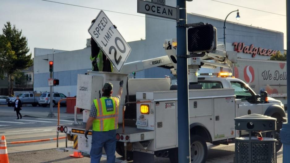
In January 2022, San Francisco began lowering speed limits on selected roadways in business activity areas under new statewide legislation: Assembly Bill 43. The San Francisco Municipal Transportation Agency reduced speeds from 25 mph to 20 mph on 24th Street, Fillmore Street, Haight Street, Polk Street, Ocean Avenue, San Bruno Avenue, and Valencia Street. Twelve additional corridors were approved for speed reduction in April 2022. The agency is accompanying the signage changes with education and outreach to inform residents of the new speed limits and the importance of slow speeds in saving lives.
The City is pairing the speed reduction effort with other strategies, such as the City’s Vision Zero Quick Build program. Speed is the leading cause of fatal and severe injury crashes in San Francisco. Reducing speeds even 5 mph can reduce these severe outcomes of a crash.
As additional provisions of the bill come into effect, the city will implement them, including reducing speeds on “safety corridors.”
San José, CA - Downtown Better Bikeways Quick-Build Network (2018 to 2019)
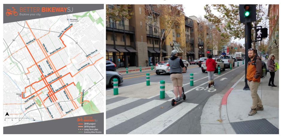
In 2018, inspired by international examples, San José began implementing a network of connected low-stress bikeways serving its downtown using quick-build techniques. San José’s choice was driven by several factors: the standard method of implementation was too expensive, it did not provide the ability to “test” new treatments in the field, and the long design and build process meant the city was having a difficult time meeting its ambitious safety and mode split goals. Over two years, leveraging the pavement maintenance program, the city built a network of low-stress bikeways using “paint and plastic.”
The Better Bikeways effort was a department-wide commitment – over 100 staff from the Department of Transportation touched the program in some form over its first two years. It was multi-sector and involved diverse technical stakeholders. The city held design meetings with departments not typically involved in capital project design, such as parking. The city tested designs with the Fire Department, and VTA bus operations, held walkthroughs with waste collection, and modified the designs when issues arose.
The city conducted extensive public outreach before, during, and up to a year after construction. Outreach included 15-minute presentations on existing community meetings, walk throughs with local businesses and community members, a pop-up demonstration project, and walking door-to-door to talk to businesses.
By July 2020, the city had installed 10.7 miles of new bikeways in downtown. Initial results are promising. After construction, the downtown saw a 33 percent increase in bike and scooter ridership and a 50 percent increase on the Better Bikeway Streets.
California - Caltrans Complete Streets
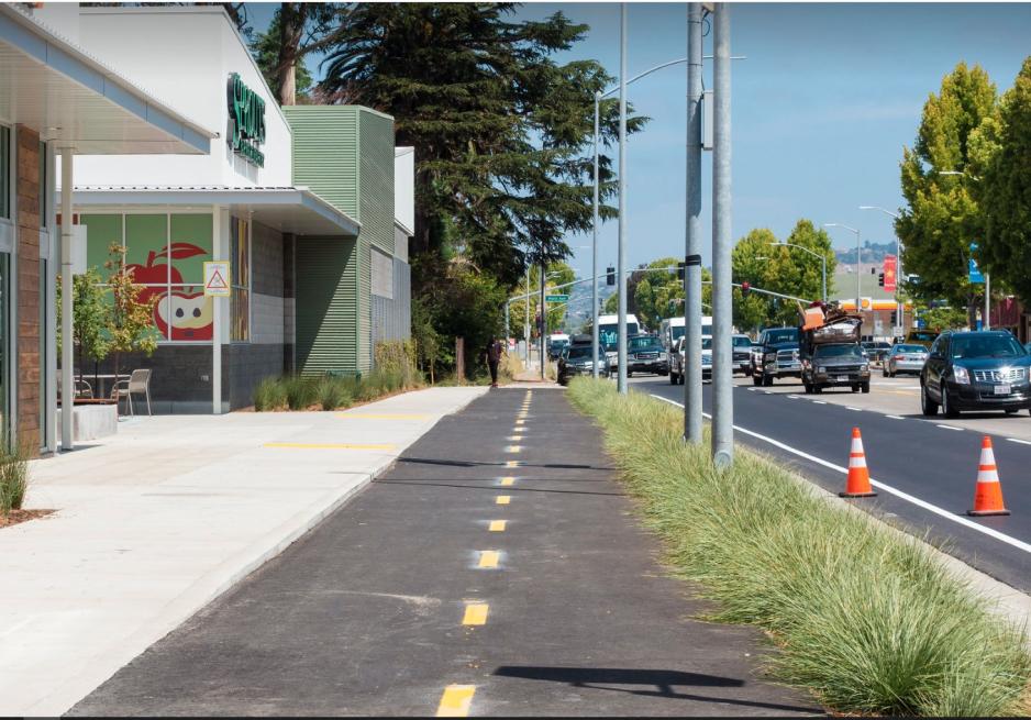
In December 2021, Caltrans director Toks Omishakin issued a memo (Director’s Policy DP-37) that declared that “all transportation projects funded or overseen by Caltrans will provide comfortable, convenient, and connected complete streets facilities for people walking, biking, and taking transit or passenger rail unless an exception is documented and approved.” It goes on to say that any capital or maintenance project that does not include complete streets elements must be justified to and approved by the responsible District Director. The policy also includes an equity component saying, “Complete streets projects should prioritize underserved communities that have been historically harmed and segmented by the transportation network and should serve people of all ages and abilities.” The intended result is to, “maximize walking, biking, transit, and passenger rail as a strategy to not only meet state climate, health, equity, and environmental goals but also to foster socially and economically vibrant, thriving, and resilient communities” through design flexibility that provides context-sensitive solutions for each travel mode. Lastly, the agency intends to remove all unnecessary policy and procedural barriers in partnering with communities and agencies who aim to help realize this goal.
This new policy replaces the previous one from 2014 where projects were required to only “consider” complete streets elements instead of requiring them, as is now the default. The new policy also included a list of implementation actions to be taken by the department to help implement its goal. Actions include, “develop contextual design guidance,” “develop process for including complete streets in highway maintenance projects,” and “launch complete streets hub to facilitate cross-functional collaboration” among others. Caltrans staff at all levels are being trained in how to plan, design, engineer, and maintain projects that are safe and comfortable for all roadway users to help this policy come into full effect quickly.


